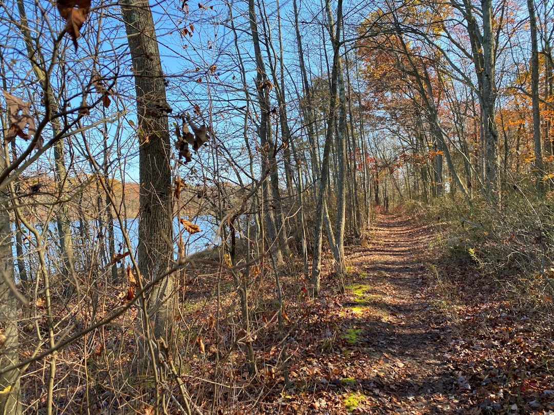
New Jersey, often recognized for its bustling urban centers and scenic coastline, also harbors a surprisingly diverse and rewarding hiking landscape. From the dramatic cliffs of the Palisades to the serene forests of the Pine Barrens, the Garden State offers a plethora of trails for every level of outdoor enthusiast. As we look toward 2026, understanding the current state of these natural wonders is key for planning your next adventure.
| Attribute | Palisades Interstate Park (NJ) |
|---|---|
| Total Trail Miles | ~30 mi |
| Top Trail (User Rating) | White Shore & Long Path Loop (4.7★, 7,721 reviews) |
| Max Elevation Gain | ~402 m (1,322 ft) |
| Terrain Type | Rocky, wooded, paved paths, stone steps |
| Crowding Level | High on weekends/holidays, fall foliage |
| Parking | Limited during peak times |
| Trail Markers | White (Shore), Aqua (Long Path), Red (Huyler’s) |
| Accessibility | High (near NYC/Bergen County) |
Palisades Interstate Park: A Hudson River Gem
Palisades Interstate Park, situated along the New Jersey side of the Hudson River, is a premier destination for hikers seeking dramatic scenery and a robust trail network. The park encompasses approximately 30 miles of interconnected trails, offering a variety of experiences from gentle riverside strolls to challenging ascents up the palisades cliffs. These trails provide unparalleled views of the New York City skyline and the expansive Hudson River, making it a popular choice for both local residents and visitors from the metropolitan area.
The park’s trail system is well-defined, with distinct markers to guide hikers. The Shore Trail is marked with white blazes, while the Long Path uses aqua markers. For those exploring the Huyler’s Landing area, red markers lead to the intersection with the Long Path. The terrain varies significantly, featuring rocky paths, wooded sections, and even paved walkways. Notably, some sections, such as the initial 0.5 miles of the Huyler’s Landing hike, include stone steps that can add to the challenge.
Trail Highlights and User Experience
Among the most highly-regarded routes is the White Shore and Long Path Loop Trail. This popular loop boasts an impressive user rating of 4.7 stars based on over 7,700 reviews on platforms like AllTrails, reflecting its appeal to a wide range of hikers. For those seeking a more strenuous outing, the Long Path and Shore Trail (Out and Back) offers the most significant elevation gain within the park, totaling approximately 402 meters (about 1,322 feet). This demonstrates that while some sections might have a modest gain, the overall network supports substantial climbs, with steeper portions reaching up to 400 feet of elevation gain.
Accessibility is a major advantage for Palisades Interstate Park, being conveniently located near Bergen County and New York City. However, this popularity also means that parking can become extremely limited, particularly on weekends and during peak seasons. User feedback consistently indicates that the trails can become very crowded, especially on weekends, holidays, and during the vibrant fall foliage season. Hikers should plan accordingly, perhaps opting for weekday visits or early morning starts to enjoy a more serene experience.

Delaware Water Gap National Recreation Area: Waterfalls and Wilderness
The Delaware Water Gap National Recreation Area, straddling the border between New Jersey and Pennsylvania, is a vast expanse offering over 100 miles of trails and a wealth of natural attractions, most notably its numerous waterfalls. This area is a significant segment of the Appalachian Trail, providing opportunities for challenging multi-day treks, alongside shorter, scenic loops that lead to picturesque cascades. The diverse ecosystems within the park range from riverine environments to dense forests, offering a rich natural experience.
While specific trail data for 2026 is best obtained directly from the National Park Service (NPS) website, the general characteristics of the park’s trails are well-documented. Hikers can expect varied terrain, with some paths being rugged and requiring sturdy footwear. The weather in the region can change rapidly, especially near the water, necessitating preparedness. Access to certain popular waterfalls, such as Dingmans Falls and Raymondskill Falls, may be seasonal or require the use of park-provided shuttles, underscoring the importance of checking official park advisories before visiting.
Exploring Mount Tammany and Beyond
Within the New Jersey portion of the Delaware Water Gap, Mount Tammany is a prominent feature, offering strenuous climbs and rewarding vistas. The trails around Mount Tammany can be demanding, with steep ascents and rocky sections. User-aggregated data suggests that some routes within the broader recreation area can involve significant elevation gains, potentially exceeding 1,400 feet on certain challenging paths. The park’s natural beauty, combined with its extensive trail network, makes it a compelling destination for those seeking both physical challenge and immersion in nature.
The presence of the Appalachian Trail adds another layer of appeal, drawing long-distance hikers and those looking to experience a section of this iconic footpath. The sheer scale of the Delaware Water Gap National Recreation Area means that even during busy periods, it is often possible to find quieter sections of trail, offering a sense of solitude amidst the natural landscape. For the most current information on trail conditions, access, and any seasonal restrictions, consulting the official NPS Delaware Water Gap website is recommended.

Pine Barrens: A Unique Coastal Plain Ecosystem
The New Jersey Pine Barrens represent one of the largest protected natural areas on the East Coast, characterized by its unique coastal plain ecosystem, sandy soils, and vast tracts of pine and oak forests. This region offers a different hiking experience compared to the mountainous areas of northern New Jersey, with trails that are generally flatter but can be challenging due to sandy terrain and the sheer remoteness of some areas.
Hiking in the Pine Barrens often involves exploring trails managed by various entities, including the New Jersey Department of Environmental Protection (NJDEP) and the Pinelands National Reserve. The trails here are known for their sandy surfaces, which can make for a unique and sometimes strenuous walk. While specific trail lengths and elevation gains vary greatly depending on the chosen area, the overall landscape is characterized by its low-lying topography. The Pinelands National Reserve website provides resources for understanding the trails and conservation efforts within this ecologically significant region.
Navigating the Pinelands Trails
Trails in the Pine Barrens can range from well-maintained paths in state parks like Wharton State Forest to more rugged, unmarked routes favored by experienced outdoors enthusiasts. The sandy terrain can be particularly challenging, especially on longer hikes, and proper footwear is essential. Navigation can also be a consideration, as some areas are less developed, and trail markers may be less frequent than in more heavily managed parks.
The unique flora and fauna of the Pine Barrens offer a distinct natural experience. Hikers may encounter specialized plant species adapted to the acidic, sandy soils, as well as a variety of wildlife. The NJDEP’s resources on the Pinelands offer guidance for exploring these areas responsibly and safely. For those seeking a more structured experience, state parks within the Pinelands often provide maps and marked trails suitable for a range of abilities.

High Point State Park: Summit Views and Rolling Hills
High Point State Park, located in Sussex County, is home to the highest elevation in New Jersey, offering panoramic views from its summit monument. The park features a network of trails that wind through forests and meadows, providing opportunities for hiking, cross-country skiing, and enjoying the natural beauty of the Kittatinny Ridge.
The trails in High Point State Park vary in difficulty, with some leading to the summit offering more challenging climbs, while others provide gentler routes through the park’s diverse landscapes. The elevation gain can be significant when ascending to the highest points, providing a rewarding experience for hikers. The park’s official website, managed by the NJ Division of Parks and Forestry, is the best source for current trail information, maps, and any specific advisories.
Exploring the Summit and Surrounding Trails
The trails around the High Point Monument offer spectacular vistas, especially on clear days. Beyond the summit area, the park’s trail system connects to other regional trails, allowing for longer excursions. Hikers can expect a mix of terrain, including wooded paths and open areas. The park is a popular destination for its scenic beauty and recreational opportunities, making it a key spot for those exploring the natural landscapes of northern New Jersey.
The park’s location in the Kittatinny Ridge region means that hikers can experience the changing seasons in a dramatic setting, with fall foliage being a particularly popular time to visit. The NJ Division of Parks and Forestry provides detailed information on the park’s amenities and trail system, ensuring visitors can plan their hikes effectively.

Raritan River Greenway and Central New Jersey Trails
Central New Jersey offers a variety of trails, including the developing Raritan River Greenway, which aims to connect communities and provide recreational access along the river. While not a single, contiguous park like Palisades or High Point, this region features numerous smaller parks, nature preserves, and trail systems that offer accessible hiking opportunities.
The Raritan River Greenway, as it continues to expand, promises to offer relatively flat and accessible trails suitable for walking, biking, and casual hiking. These trails often pass through varied landscapes, including woodlands, wetlands, and urban-adjacent natural areas. Information on specific segments and access points can typically be found through local municipal websites or county park commissions, as well as through the NJ State Parks system for connected areas.
Exploring Diverse Central New Jersey Landscapes
Beyond the Raritan River Greenway, central New Jersey boasts numerous county and municipal parks that feature well-maintained trail systems. These areas often provide a mix of wooded paths, open fields, and riverside trails. While generally less dramatic in terms of elevation gain compared to the northern parts of the state, these trails offer valuable opportunities for accessible outdoor recreation and nature observation.
For those interested in exploring these central New Jersey trails, resources from the NJ State Parks and local county park authorities are invaluable. They provide details on trail maps, lengths, and any specific features or amenities available. These trails are often ideal for families, beginner hikers, or those looking for a less strenuous outdoor activity closer to populated areas.
Frequently Asked Questions
What is the most challenging hike in Palisades Interstate Park?
While specific trail difficulty can be subjective, the Long Path and Shore Trail (Out and Back) offers the most significant elevation gain within Palisades Interstate Park, totaling approximately 402 meters (about 1,322 feet), making it one of the more strenuous options available.
Are there waterfalls in New Jersey that are accessible for hiking?
Yes, the Delaware Water Gap National Recreation Area is known for its waterfalls, including Dingmans Falls and Raymondskill Falls. Access and conditions can be seasonal, so checking with the National Park Service is recommended.
Is it possible to hike the Appalachian Trail in New Jersey?
Yes, a significant portion of the Appalachian Trail passes through the Delaware Water Gap National Recreation Area, offering opportunities for both day hikes and longer backpacking trips.
What should I know about hiking in the Pine Barrens?
Hiking in the Pine Barrens often involves sandy terrain, which can be challenging. It’s important to wear appropriate footwear and be prepared for potentially less frequent trail markers in some areas. Consulting resources from the NJDEP and Pinelands National Reserve is advised.
Where is the highest point in New Jersey for hiking?
The highest elevation in New Jersey is located in High Point State Park, where trails lead to the summit monument, offering expansive views and a rewarding hiking experience.