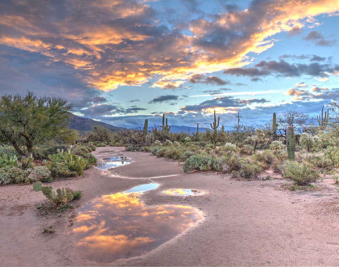
Arizona’s Premier Hiking Trails: A 2026 Guide
Arizona, a state renowned for its dramatic desert landscapes, towering red rock formations, and the unparalleled grandeur of the Grand Canyon, offers a hiking experience for every adventurer. From challenging summit climbs to serene canyon walks, the state’s diverse terrain provides endless opportunities for exploration. As we look toward 2026, understanding trail conditions, accessibility, and safety is paramount for planning your next outdoor excursion. This guide highlights some of the most compelling hikes across Arizona, focusing on current conditions and essential information for a safe and rewarding journey.
| Trail Name | Location | Length (Roundtrip) | Elevation Change | Difficulty | Key Features | Permit Required? | 2026 Notes |
|---|---|---|---|---|---|---|---|
| Bright Angel Trail | Grand Canyon National Park | 19.5 miles (31.4 km) | 4,380 feet (1,335 m) | Strenuous | Iconic Grand Canyon vistas, inner canyon ecosystem, access to Phantom Ranch | No (for day hiking) | Partial reopening March 4, 2026. Check Grand Canyon National Park for current status and closures due to Dragon Bravo Fire impacts. |
| West Fork Trail | Oak Creek Canyon | 6.2 miles (10 km) | ~500 feet (152 m) | Moderate | Shaded canyon, creek crossings, lush vegetation | No | Consistently popular for its cool, shaded environment. |
| Bell Rock & Courthouse Butte Loop | Sedona | 3.6 miles (5.8 km) | ~400 feet (122 m) | Easy to Moderate | Red rock formations, panoramic views of Sedona | No | Accessible and scenic, ideal for various fitness levels. |
| Horseshoe Bend Trail | Glen Canyon National Recreation Area | 1.7 miles (2.7 km) | ~200 feet (61 m) | Easy | Iconic overlook of the Colorado River | No (access fee may apply to the area) | Well-maintained paved path to a stunning viewpoint. |
| Humphreys Peak Trail | Near Flagstaff | 10.4 miles (16.7 km) | 3,270 feet (997 m) | Strenuous | Highest point in Arizona, alpine scenery, potential for snow | No | Requires good physical condition and preparedness for changing mountain weather. |
| Peralta Trail to Fremont Saddle | Superstition Mountains | 5 miles (8 km) | 1,280 feet (390 m) | Moderate to Strenuous | Dramatic desert mountain scenery, unique rock formations | No | Best hiked in cooler months; carries significant heat risk in summer. |
| Fire Wave Trail | Valley of Fire State Park, Nevada (Accessible from Northern AZ) | 1.5 miles (2.4 km) | ~200 feet (61 m) | Easy to Moderate | Colorful sandstone formations, unique geological patterns | No (park entrance fee applies) | Located in Nevada, but a popular day trip for those in Northern Arizona. |
| White Domes Loop | Valley of Fire State Park, Nevada (Accessible from Northern AZ) | 1.1 miles (1.8 km) | ~150 feet (46 m) | Easy | Narrow canyons, sandstone formations, remnants of a movie set | No (park entrance fee applies) | A short, scenic loop offering diverse geological features. |

Navigating Grand Canyon’s Bright Angel Trail in 2026
The Bright Angel Trail, a quintessential Grand Canyon experience, remains a top destination for hikers seeking to explore the canyon’s depths. However, accessibility and conditions can fluctuate. For 2026, it’s crucial to note that sections of the Arizona Trail within the Grand Canyon were impacted by the Dragon Bravo Fire. While the main Bright Angel Trail itself was not directly closed by the fire, its proximity and the broader impact on the park’s trail system necessitate checking official sources.
As of early March 2026, significant portions of the inner canyon have reopened. Specifically, the segment from Phantom Ranch to Ribbon Falls became accessible again on March 4, 2026. Furthermore, Bright Angel Campground and Phantom Ranch have reopened for overnight stays, a welcome development for those planning multi-day excursions below the rim. Despite these reopenings, hikers must remain vigilant. The Grand Canyon National Park website is the definitive source for real-time trail status, closure information, and any lingering effects from the Dragon Bravo Fire or other environmental factors . Always verify conditions before your trip.

Oak Creek Canyon’s Shaded Gem: West Fork Trail
For a refreshing escape from Arizona’s arid climate, the West Fork Trail in Oak Creek Canyon offers a distinctively different hiking experience. This popular trail, located near Sedona, winds through a lush, shaded canyon, following the course of Oak Creek. The trail involves numerous creek crossings, often requiring hikers to step on rocks or wade through shallow water, which adds to its charm and provides a welcome cooling effect, especially during warmer months.
The 6.2-mile roundtrip hike is generally considered moderate due to the distance and the need for careful footing during creek crossings. Unlike many of Arizona’s more strenuous desert hikes, West Fork Trail is characterized by its verdant environment, towering canyon walls, and the soothing sounds of flowing water. It’s an excellent option for families and hikers seeking a less intense but equally scenic adventure. No permits are required for this trail, making it an easily accessible choice for visitors to the Sedona area .

Sedona’s Iconic Red Rocks: Bell Rock and Courthouse Butte
Sedona is synonymous with its stunning red rock landscapes, and the Bell Rock and Courthouse Butte Loop offers an accessible way to experience this iconic scenery. This trail system provides a network of paths that allow hikers to explore the base of these magnificent formations. The main loop is approximately 3.6 miles and is generally rated as easy to moderate, making it suitable for a wide range of hikers.
The trails here are well-maintained and offer breathtaking panoramic views of the surrounding red rock country. Hikers can choose to do a shorter loop around Bell Rock or combine it with paths that lead towards Courthouse Butte for a longer excursion. The vibrant colors of the rock formations, especially during sunrise and sunset, create a truly memorable visual spectacle. As with West Fork Trail, no permits are necessary for hiking in this area, allowing for spontaneous exploration of Sedona’s natural beauty .

Iconic Vistas: Horseshoe Bend Trail
Located near Page, Arizona, the Horseshoe Bend Trail provides access to one of the most photographed and recognizable natural landmarks in the American Southwest. This short, easy trail leads to an overlook offering a dramatic perspective of the Colorado River as it makes a sweeping 270-degree turn around a massive sandstone escarpment. The trail itself is about 1.7 miles roundtrip and is largely paved, with a gentle elevation change, making it accessible for most visitors.
The primary draw is the awe-inspiring view from the overlook, which is particularly stunning during the golden hours of sunrise and sunset. While no permit is required for the trail itself, visitors should be aware that there may be an access fee for the parking area managed by the City of Page. The trail is exposed, so carrying water and sun protection is essential, even for this short walk .
Conquering Arizona’s High Point: Humphreys Peak Trail
For those seeking a significant physical challenge and the reward of summiting the highest point in Arizona, the Humphreys Peak Trail is the definitive choice. Located near Flagstaff in the San Francisco Peaks, this strenuous 10.4-mile roundtrip hike ascends to an elevation of 12,633 feet (3,851 meters). The trail offers a dramatic change in scenery, beginning in a dense ponderosa pine forest and transitioning through aspen groves (which are spectacular in the fall) before reaching the windswept alpine tundra above the tree line.
The high elevation presents a significant challenge, and hikers must be prepared for potential altitude sickness. Weather conditions can change rapidly, with snow possible even in summer months. The upper sections of the trail are rocky and steep, requiring good stamina and sure footing. Proper acclimatization and layers of clothing are essential for a safe and successful ascent. Despite the difficulty, the panoramic views from the summit are a remarkable reward .
Exploring the Superstition Mountains: Peralta Trail to Fremont Saddle
The Superstition Mountains, east of Phoenix, offer rugged desert beauty and challenging hiking opportunities. The Peralta Trail is a popular route leading to Fremont Saddle, providing spectacular views of the iconic Weaver’s Needle and the surrounding dramatic landscape. This moderate to strenuous hike is approximately 5 miles roundtrip with an elevation gain of about 1,280 feet.
Hikers should be aware that this trail is best tackled during the cooler months of the year, as summer temperatures in the Superstitions can be extreme and dangerous. Shade is scarce, and water sources are unreliable, making ample hydration critical. The rugged terrain and potential for disorientation mean that carrying a map and compass or GPS device is highly recommended. The dramatic desert vistas and the sense of wilderness make this a rewarding experience for prepared hikers .
Beyond Arizona’s Borders: Valley of Fire’s Geological Wonders
While not within Arizona, the Valley of Fire State Park in neighboring Nevada is a popular destination for Arizona residents and visitors, particularly those exploring Northern Arizona. Two notable trails within the park offer unique geological experiences: Fire Wave and White Domes Loop.
The Fire Wave Trail is a relatively short, 1.5-mile roundtrip hike that leads to a stunning formation of swirling, colorful sandstone, often compared to a smaller version of Utah’s famed “The Wave.” The best light for photography is typically in the afternoon. The White Domes Loop is an even shorter, 1.1-mile loop that takes hikers through narrow canyons and past striking sandstone formations, with remnants of a 1960s movie set adding a unique historical element . Both trails are accessible and offer incredible visual rewards, though park entrance fees apply.
Safety First: Essential Hiking Practices in Arizona
Arizona’s diverse environments, from the scorching desert floor to the high alpine peaks, demand careful preparation and a strong emphasis on safety. Understanding the unique risks associated with each type of terrain is crucial for a positive hiking experience.
Heat Management: Arizona is known for its extreme temperatures, particularly in the desert regions during the summer months. Grand Canyon National Park, for instance, can experience temperatures reaching 95°F (35°C) even in shaded areas at the canyon floor . Hikers must carry significantly more water than they think they will need, supplement with electrolytes, and plan strenuous hikes for the coolest parts of the day – typically early morning or late evening. For desert hikes, consider avoiding midday travel altogether.
Water Availability: While some popular trails, like the Bright Angel Trail, have seasonal water stations (e.g., at Indian Garden and Plateau Point), their operational status can vary. It is imperative to verify that these stations are functioning before relying on them . For most other trails, especially in more remote areas or during drier seasons, all water must be carried in.
Trail Conditions and Closures: As demonstrated by the Dragon Bravo Fire’s impact on the Arizona Trail, conditions can change rapidly due to weather, fires, or other natural events. Always check official park websites or land management agency pages for the most current trail status and closure information. The Arizona Trail Association provides updates for thru-hikers and others utilizing the extensive trail system .
Permit Requirements: While many of Arizona’s most accessible and popular trails do not require permits, some unique destinations do. For example, the highly sought-after Subway hike in Zion National Park (Utah) operates on a competitive permit lottery system . Always research permit requirements well in advance if your intended hike is known to require one.
Navigation and Gear: Even on well-marked trails, carrying a map and compass or a reliable GPS device is a prudent practice, especially in areas with potential for disorientation like the Superstition Mountains. Appropriate footwear, sun protection (hats, sunscreen), and layered clothing are essential for comfort and safety across Arizona’s varied climates.
Frequently Asked Questions
What is the most challenging hike in Arizona?
While “most challenging” can be subjective, the Humphreys Peak Trail, ascending to Arizona’s highest point, is widely considered one of the most physically demanding day hikes due to its length, elevation gain, and potential for severe weather and altitude sickness.
Are there any hikes in Arizona that require permits?
While most popular day hikes in Arizona do not require permits, some backcountry areas or specific destinations within national parks might have permit requirements for overnight stays or special access. It’s always best to check the specific regulations for the park or area you plan to visit.
When is the best time to hike in Arizona?
The best time to hike in Arizona depends heavily on the region. Spring (March-May) and Fall (September-November) generally offer the most pleasant temperatures for desert and canyon hiking. Higher elevation areas, like Flagstaff, are best explored in summer and early fall, while winter can bring snow to these higher elevations. Summer hiking in desert and canyon areas is only recommended for very early mornings or late evenings and requires extreme caution due to heat.
Is it safe to hike alone in Arizona?
Hiking alone can be a rewarding experience, but it carries increased risks. It’s essential to inform someone of your hiking plans, including your intended route and expected return time. Carrying a satellite communication device can provide an extra layer of safety in areas with no cell service. Always be aware of your surroundings and trail conditions.